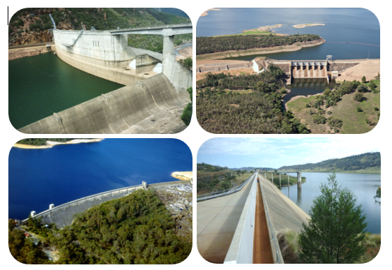
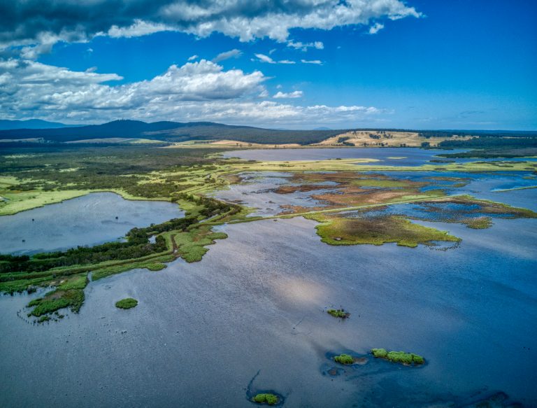
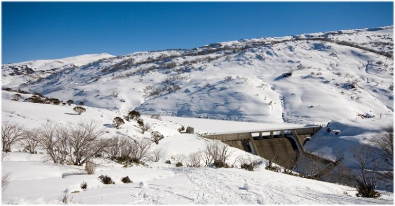
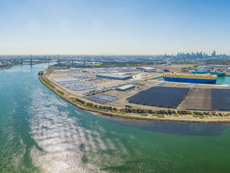
HARC has delivered hundreds of projects and highlights of our projects can be viewed using the map below.
No results found
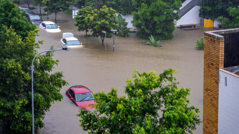
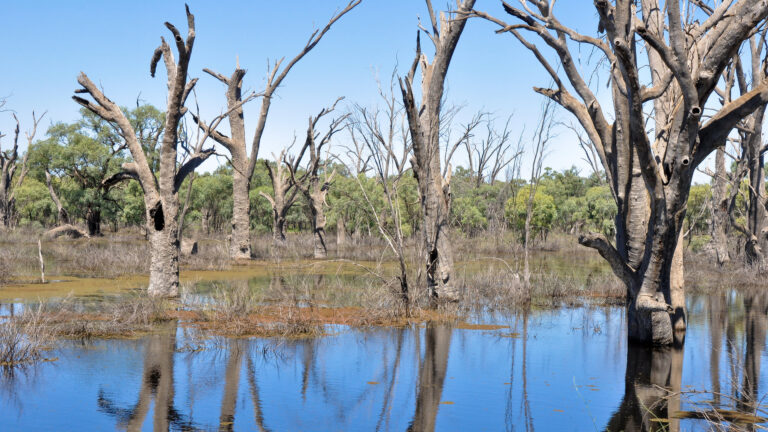
![](https://harc.com.au/wp-content/uploads/2024/10/MDBA_74882248_Murray-River-wetland-flood_1920-768x432.jpg)
Integrated River Modelling Framework Tool
Water ResourcesWater Resources Homepage
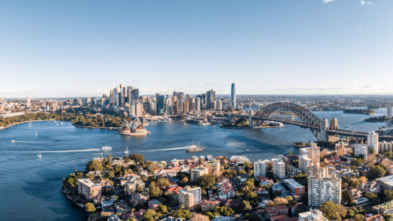
![](https://harc.com.au/wp-content/uploads/2024/10/2012285774_urban_water_nsw-768x432.jpg)
WSAA Urban Water Resources Planning Framework
Urban WaterUrban Water Homepage
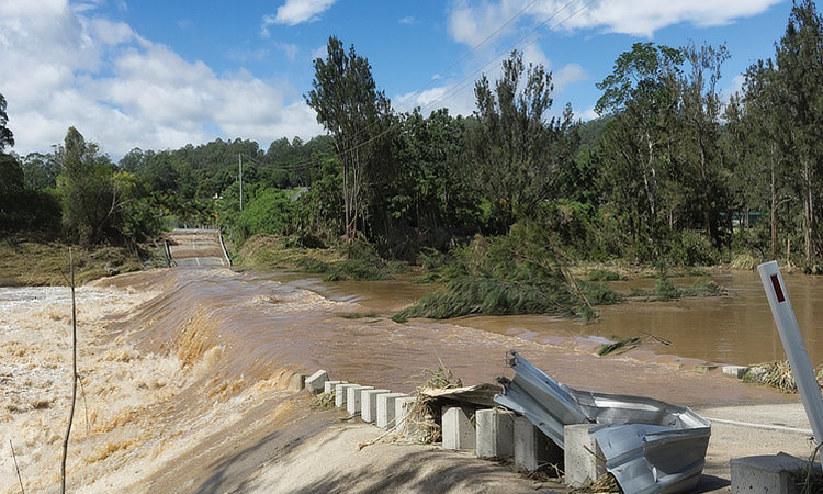
![](https://harc.com.au/wp-content/uploads/2024/10/QRA_IFD_Update_Photo-750.jpg)
Derivation of IFDs for South East Queensland incorporating climate change
Floodplain ManagementFloodplain Management Homepage
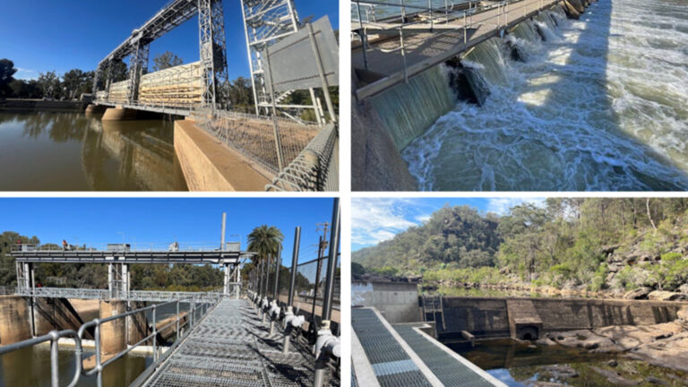
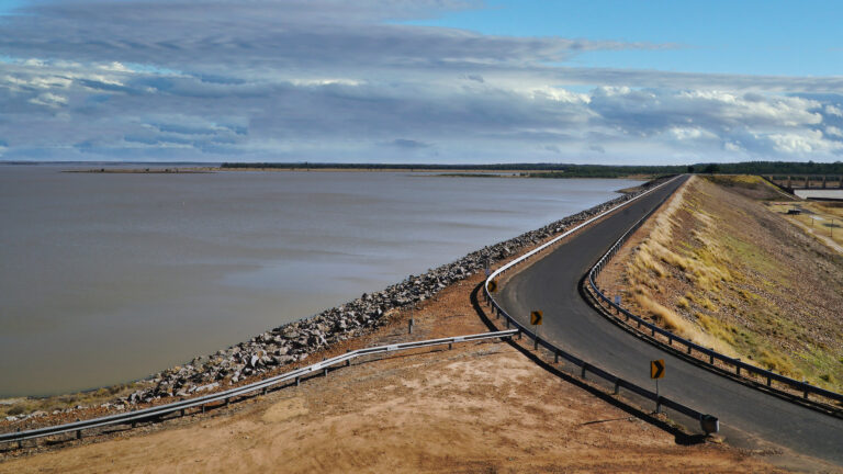
![](https://harc.com.au/wp-content/uploads/2024/10/2437856119_dam_1920_1080-768x432.jpg)
Sunwater ALARP framework and application
Dam SafetyDam Safety Homepage
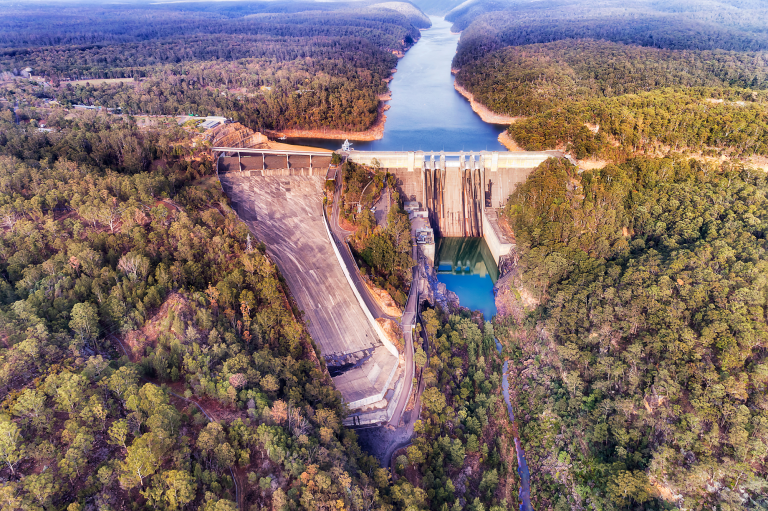
![](https://harc.com.au/wp-content/uploads/2023/09/shutterstock_Warragamba-Dam-NSW_crop-768x511.png)
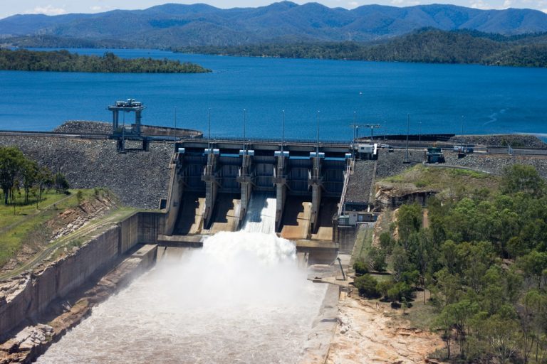
Warragamba Dam Operational Risk Assessment (ORA)
Dam SafetyDam Safety HomepageHydrologyOperational Risk Assessments
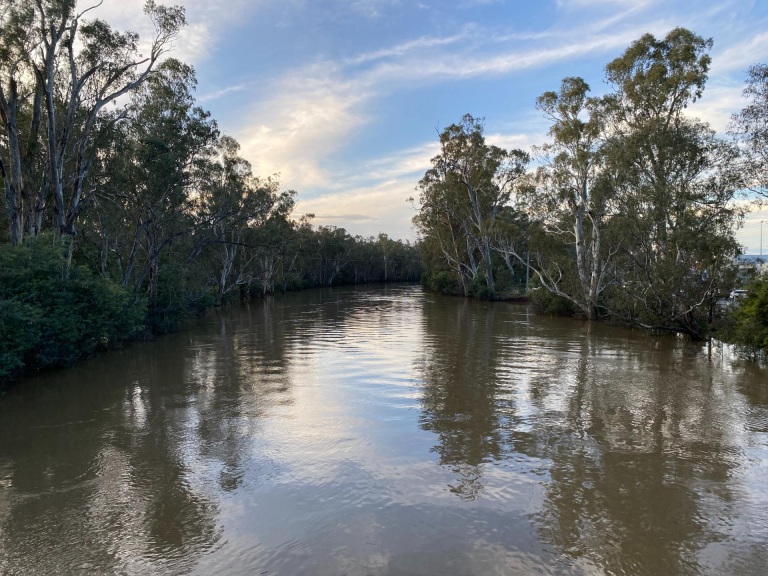
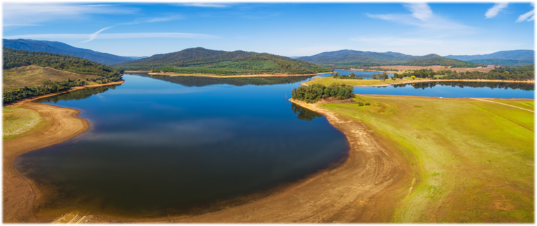
![](https://harc.com.au/wp-content/uploads/2023/09/Goulburn-River_Molesworth_Credit_GBCMA_-768x576.png)
Constraints Modelling for the Murray-Darling Basin
Hydraulic ModellingHydrologyWater ResourcesWater Resources Homepage
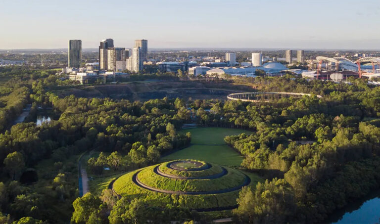
![](https://harc.com.au/wp-content/uploads/2023/10/Smart-Irrigation-Management-for-Parks-768x453.jpg)
Smart Irrigation Management for Parks and Cool Towns (SIMPaCT)
Data modellingHydrologyUrban WaterUrban Water - Water InformationUrban Water Homepage
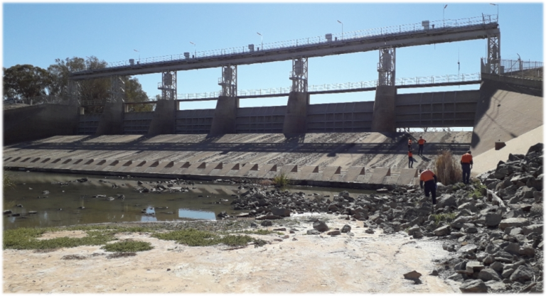
![](https://harc.com.au/wp-content/uploads/2022/12/Menindee-Lakes-Scheme-project-_2022-768x417.png)
Hydrology, dambreak and consequence for multiple structures in the Menindee Lakes Scheme
Dam SafetyHydraulic ModellingHydrology
![](https://harc.com.au/wp-content/uploads/2023/01/Source-model-_Ovens-River-LAke-Buffalo-image-768x324.png)
Regional Water Strategies - SOURCE models for the Ovens River system
Environmental FlowsSource modellingWater Resources
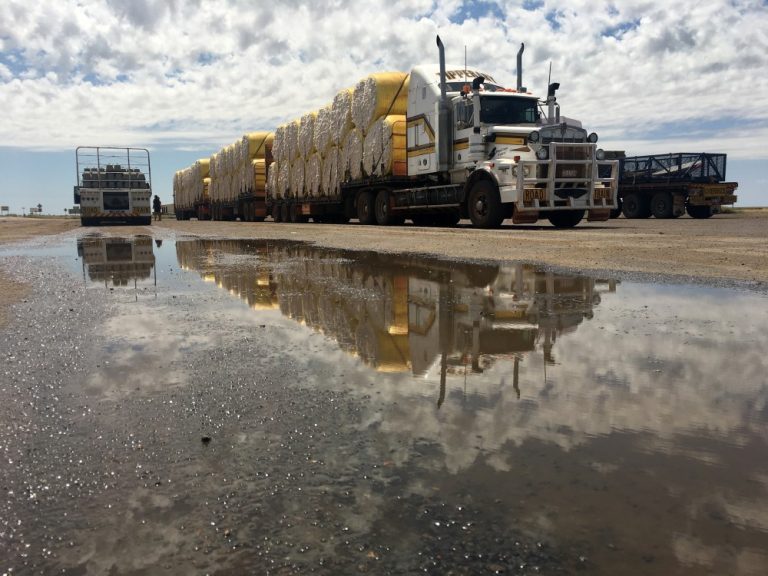
![](https://harc.com.au/wp-content/uploads/2022/12/Inland-Freight-Route-_-Flood-study-_QLD_2205067051_web-768x576.jpg)
Linear Infrastructure Flood Risk - Innovative Flood Study for the Inland Freight Route, Queensland
Australian Rainfall and Runoff (ARR)Floodplain ManagementFloodplain Management HomepageHydrology Modelling
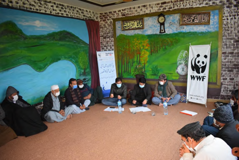
![](https://harc.com.au/wp-content/uploads/2022/12/Sth-Asia-Water-Security-Initiative-for-WWF-Pakistan-workshop-image.png)
Water Governance in Pakistan - Access to safe water for marginalised communities
Corporate Social Responsibility (CSR)Integrated Water Cycle ManagementUrban WaterWater Sensitive Cities
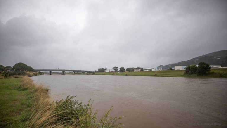
![](https://harc.com.au/wp-content/uploads/2023/09/Hutt-River-flood-2023-NZ_credit-JUAN-ZARAMA-PERINI-768x432.png)
Complex Flood Modelling - Joint Probability Assessment of Local and Catchment Flooding, Hutt River, NZ
Floodplain ManagementHydrology Modelling
![](https://harc.com.au/wp-content/uploads/2022/03/Dethridge-Wheel-01-768x498.jpg)
Review of Victoria’s Non-Urban Metering Policy
Water Resources
![](https://harc.com.au/wp-content/uploads/2022/03/Lake-Victoria-768x512.jpg)
Operation of Tar-Ru (Lake Victoria) – scoping study
Water Resources
![](https://harc.com.au/wp-content/uploads/2022/03/River-Murray-System1-768x575.jpg)
River Murray System Environmental Water Delivery Services Review
Water Resources
![](https://harc.com.au/wp-content/uploads/2022/03/Murray-River-Barmah-768x510.jpg)
Review of historic flows and levels in the River Murray System
Water Resources
![](https://harc.com.au/wp-content/uploads/2022/03/winterfill-768x576.jpg)
Investigating increased flexibility for taking water under winter-fill licences
Water Resources
![](https://harc.com.au/wp-content/uploads/2022/03/Werribee-Bacchus-Marsh-768x1024.jpg)
Review and update of SRW allocation model for Werribee and Bacchus Marsh irrigation districts
Water Resources
![](https://harc.com.au/wp-content/uploads/2022/03/Glenmaggie-768x514.jpg)
Updated Target Filling Curves for Lake Glenmaggie
Water Resources
![](https://harc.com.au/wp-content/uploads/2022/03/Donnelly-River-Basin-768x585.jpg)
Donnelly River Source model
Water Resources
![](https://harc.com.au/wp-content/uploads/2021/10/Picture1.png)
National Performance Report - Review of indicators for national urban water performance reporting
Urban WaterUrban Water - Water Strategy
![](https://harc.com.au/wp-content/uploads/2021/10/dams-pic-smaller.png)
Framework to identify dam safety controls that are reasonable and practicable
Dam Safety
![](https://harc.com.au/wp-content/uploads/2021/10/shutterstock_2014958435-Gippsland-768x583.jpg)
Flood intelligence services to support emergency response during the June 2021 Gippsland Floods
Floodplain Management
![](https://harc.com.au/wp-content/uploads/2021/10/NSW-Regional-Water-Strategies-768x401.jpg)
Development of stochastic inputs to the Murray Darling Basin southern connected system
Water Resources
![](https://harc.com.au/wp-content/uploads/2021/03/shutterstock_625695374-1-768x576.jpg)
Flood Risk Assessment for Fishermans Bend
Floodplain Management
![](https://harc.com.au/wp-content/uploads/2021/03/Mccall.jpg)
McCall Say Dam risk assessment
Dam Safety
![](https://harc.com.au/wp-content/uploads/2021/03/Kaiha-Liberia.jpg)
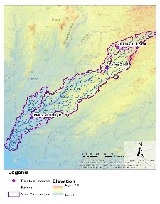
Kaiha II hydrology modelling
Water Resources
![](https://harc.com.au/wp-content/uploads/2021/03/North-pine.jpg)
North Pine Dam Consequence Assessment
Dam Safety
![](https://harc.com.au/wp-content/uploads/2021/03/Burdekin.jpg)
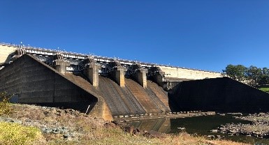
Burdekin Falls Dam Consequence Assessment
Dam Safety
![](https://harc.com.au/wp-content/uploads/2021/03/Tuggeranong.jpg)
Tuggeranong Creek Consequence and Risk Assessment
Dam Safety
![](https://harc.com.au/wp-content/uploads/2021/03/Rio-project.jpg)
Caves Creek Baseline Hydrology
Floodplain Management
![](https://harc.com.au/wp-content/uploads/2020/10/Alimit.jpg)
Yield modelling and dambreak consequence assessments for proposed Alimit Dam and Ibulao Diversion Weir
Dam SafetyFloodplain Management
![](https://harc.com.au/wp-content/uploads/2020/10/6-7-right-spelling-768x543.png)
ARR Benchmarking for Victoria
Floodplain Management
![](https://harc.com.au/wp-content/uploads/2020/10/Hose-pic.png)
ACT Demand Management Review and Modelling
Urban WaterUrban Water - Demand Analysis
![](https://harc.com.au/wp-content/uploads/2020/10/IMG_2074-768x576.jpg)
Flood and dambreak consequence assessment for proposed Alimit HPP in Philippines
Dam Safety
![](https://harc.com.au/wp-content/uploads/2017/09/shutterstock_103087751_Depth-gauge-768x514.jpg)
Implementation of a regional water grid stress test
Water Resources
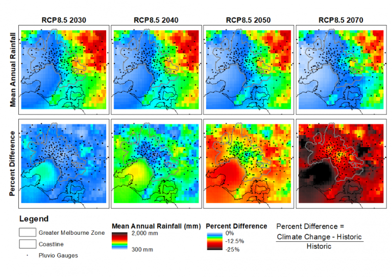
![](https://harc.com.au/wp-content/uploads/2020/09/MeanAnnualRainfallSummary-768x544.png)
Rainfall data cube for Greater Melbourne
Urban WaterUrban Water - Water InformationWater Resources
![](https://harc.com.au/wp-content/uploads/2020/09/Wood-and-water-pic-768x297.jpg)
Wood and Water Review
Water Resources
![](https://harc.com.au/wp-content/uploads/2018/01/shutterstock_51259171_Murray-Darling-confluence-Trimmed-768x576.jpg)
Review of methods for estimating environmental water shortfalls
Water Resources
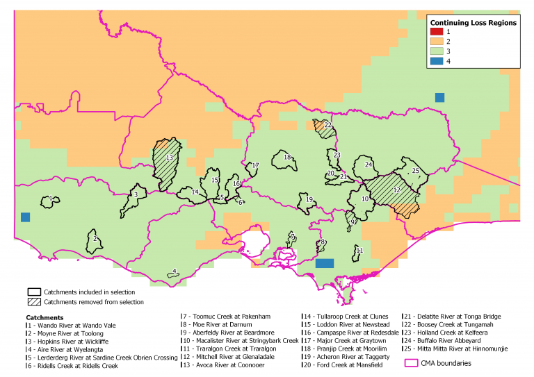
![](https://harc.com.au/wp-content/uploads/2018/01/shutterstock_207287113_Collie-River-catchment-farm-dam-Trmmed-768x576.jpg)
Farm Dam Impacts for 11 Key Catchments in Victoria
Water Resources
![](https://harc.com.au/wp-content/uploads/2018/01/IMG_1817_Waverley-Rd_Trimmed-768x392.jpg)
Melbourne Water Retarding Basin Risk Assessment
Dam Safety
![](https://harc.com.au/wp-content/uploads/2018/01/Swing_Bridge-768x575.jpg)
Lower Thomson River Flood Study
Floodplain Management
![](https://harc.com.au/wp-content/uploads/2018/01/shutterstock_133457021-Wivenhoe-Dam-768x512.jpg)
AEP of the PMP for South-East Queensland
Dam Safety
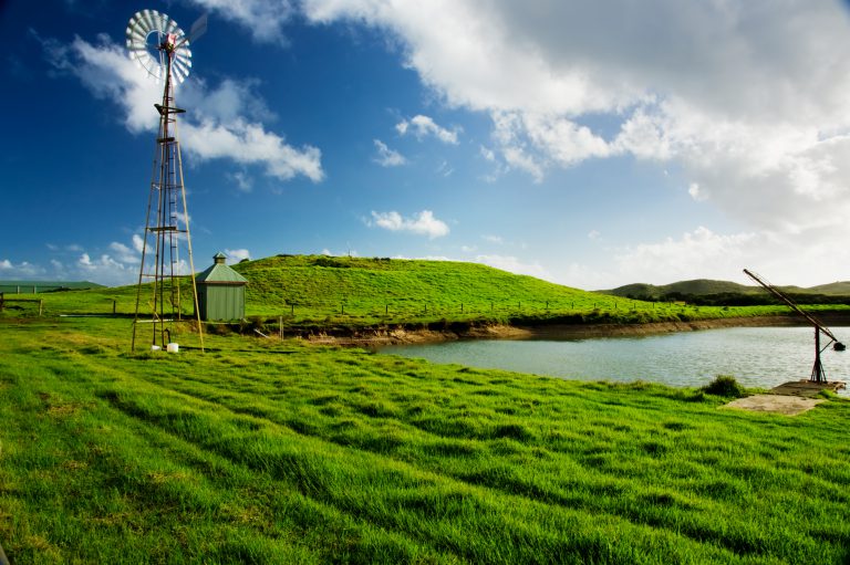
![](https://harc.com.au/wp-content/uploads/2017/09/shutterstock_52449838_FarmDamWithWindmill_Victoria-768x511.jpg)
Trends in farm dam development
Water Resources
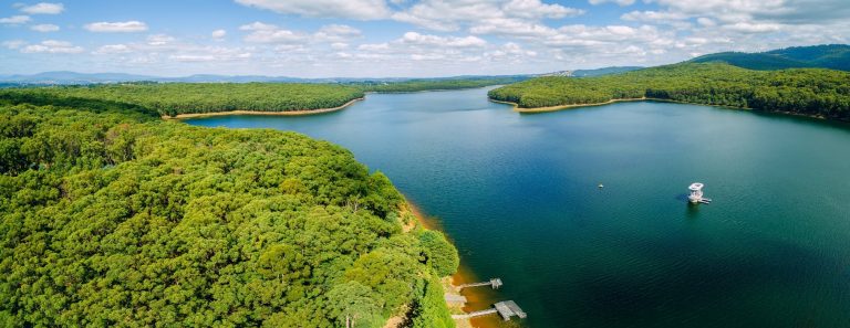
![](https://harc.com.au/wp-content/uploads/2018/01/Leslie_Harrison_Dam_from_Allambee_Crescent.jpg)
Detailed consequence assessments for 3 dams
Dam Safety
![](https://harc.com.au/wp-content/uploads/2018/01/shutterstock_74882248_Murray-River-wetland-flood_Trimmed-768x510.jpg)
Update of Evapotranspiration Tools for Victoria
Water Resources
![](https://harc.com.au/wp-content/uploads/2017/09/shutterstock_103087751_Depth-gauge-768x514.jpg)
Yield of unallocated share of Lake Merrimu
Water Resources
![](https://harc.com.au/wp-content/uploads/2018/01/shutterstock_99706355_Brisbane-2011-flooded-houses-1-768x576.jpg)
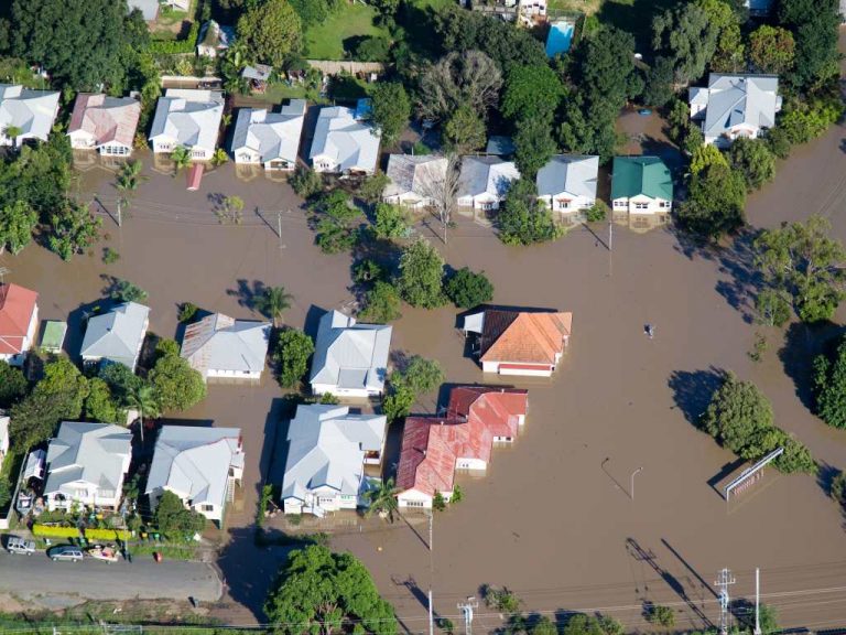
ARR2016 Benchmarking
Floodplain Management
![](https://harc.com.au/wp-content/uploads/2018/01/P1012489-768x576.jpg)
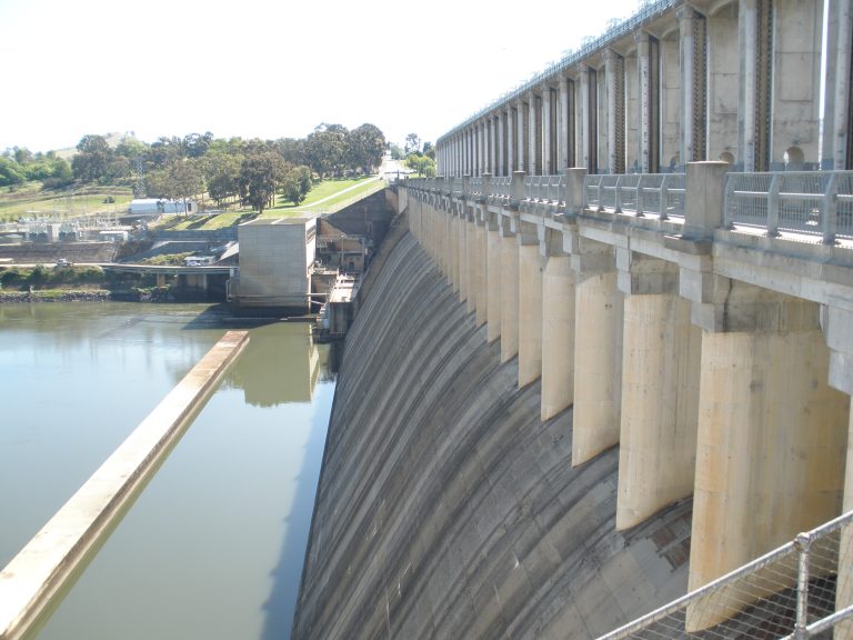
Hume dambreak consequences
Dam Safety
![](https://harc.com.au/wp-content/uploads/2018/01/Picture-Paradise-768x576.jpg)
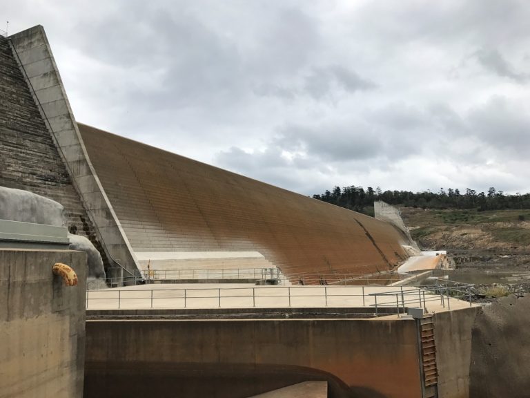
Paradise Dam Dambreak consequence assessment
Dam Safety
![](https://harc.com.au/wp-content/uploads/2017/09/IMG_2734-768x576.jpg)
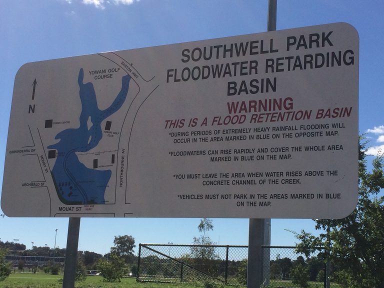
Southwell Park Scoping Study
Dam Safety
![](https://harc.com.au/wp-content/uploads/2017/09/shutterstock_624896258-768x513.jpg)
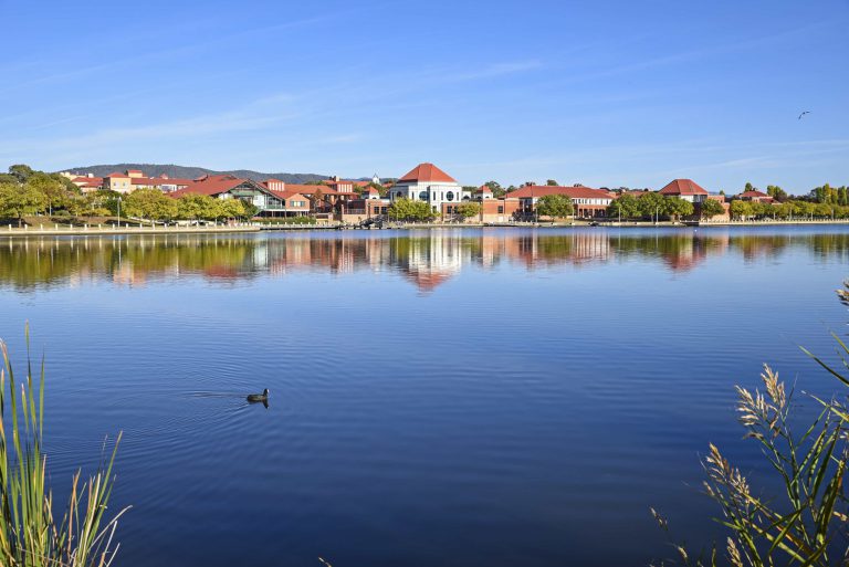
Isabella Weir Upgrade Construction Flood Risk
Dam Safety
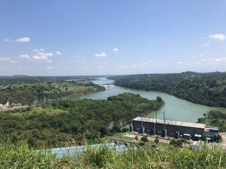
![](https://harc.com.au/wp-content/uploads/2017/09/Mt__Coffee_Hydro_dam-768x512.jpg)
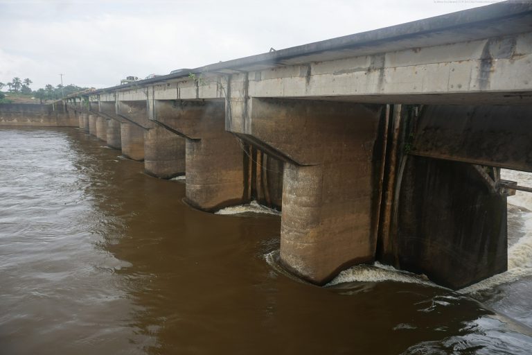
Mt Coffee Review of Flood Capacity
Dam Safety
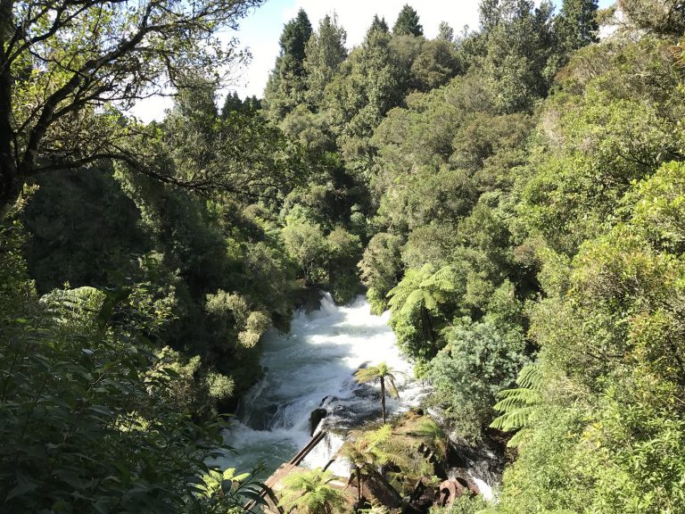
![](https://harc.com.au/wp-content/uploads/2017/09/BOP00002_KaitunaRiver_trimmed-768x576.jpg)
Catchment water quality modelling for the Kaituna and Rangitaiki Rivers
Water Resources
![](https://harc.com.au/wp-content/uploads/2017/09/shutterstock_103087751_Depth-gauge-768x514.jpg)
Long Term Water Resource Assessments method
Water Resources
![](https://harc.com.au/wp-content/uploads/2017/09/SGW00001_006_BestPhotoOfFosterDam_trimmed-768x576.jpg)
Foster Dam design flood hydrology
Dam Safety
![](https://harc.com.au/wp-content/uploads/2017/09/shutterstock_556103026_BruceHighwayRoadSign-768x453.jpg)
Bruce Highway Flood Link Study
Floodplain Management
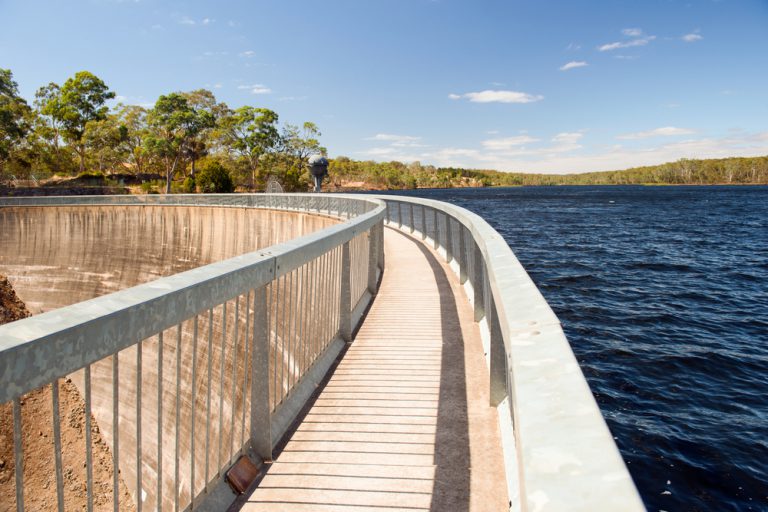
![](https://harc.com.au/wp-content/uploads/2017/09/Lake_Eildon_Dam_8615800-768x510.jpg)
Flood hydrology updates for four GMW dams
Dam Safety
![](https://harc.com.au/wp-content/uploads/2017/09/shutterstock_132897968-Barossa-768x512.jpg)
Dambreak consequences for South Para, Warren and Barossa Dams
Dam Safety
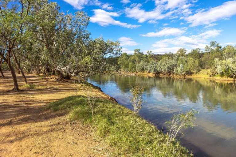
![](https://harc.com.au/wp-content/uploads/2017/09/shutterstock_135817187_Outback-river_Reduced-768x513.jpg)
Hydrological modelling of the impact of changes in land use
Water Resources
![](https://harc.com.au/wp-content/uploads/2017/09/shutterstock_303862739-Seismic-pic-768x576.jpg)
WaterNSW Dams Seismic Monitoring Strategy
![](https://harc.com.au/wp-content/uploads/2017/09/G30AT5-Thames-Coromandel-768x513.jpg)
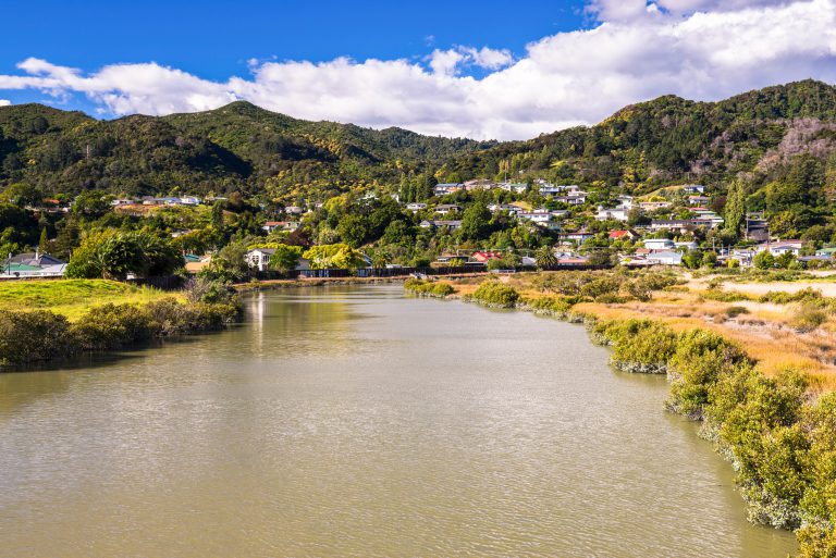
Thames Coromandel Demand Management Strategy
Dam SafetyUrban Water
![](https://harc.com.au/wp-content/uploads/2017/09/Greater-Sydney-Water-Supply.jpg)
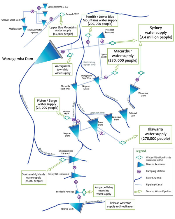
Greater Sydney Water Strategy
![](https://harc.com.au/wp-content/uploads/2017/09/Adelaide-River-768x512.jpg)
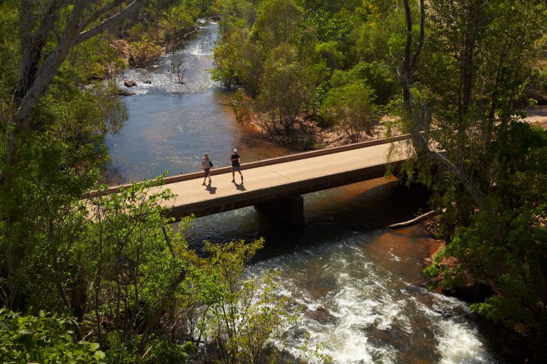
Northern Australia pre-feasibility flood assessment
Dam Safety
![](https://harc.com.au/wp-content/uploads/2017/09/IMG_0123-768x576.jpg)
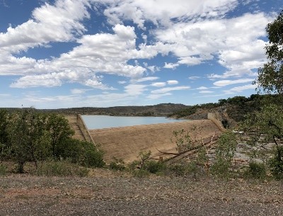
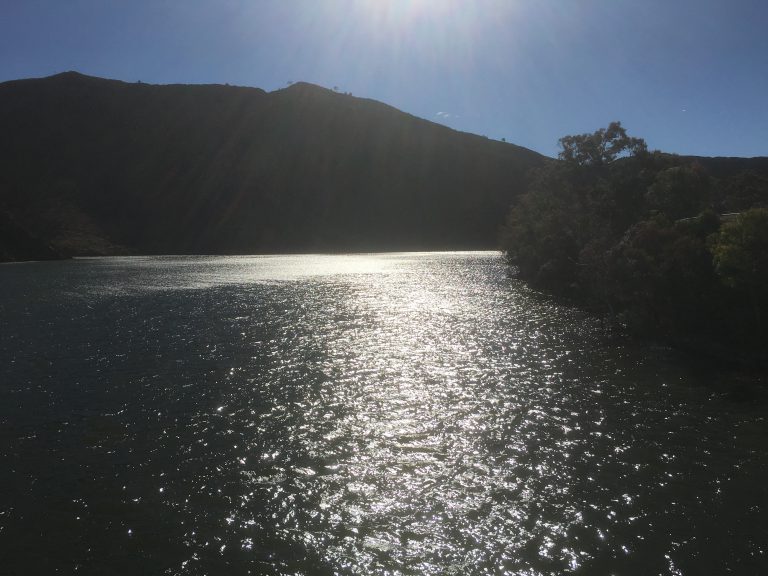
Aroona Dam hydrology and dambreak consequences
Dam Safety
![](https://harc.com.au/wp-content/uploads/2017/09/shutterstock_663948322_OrdRiverDam-768x514.jpg)
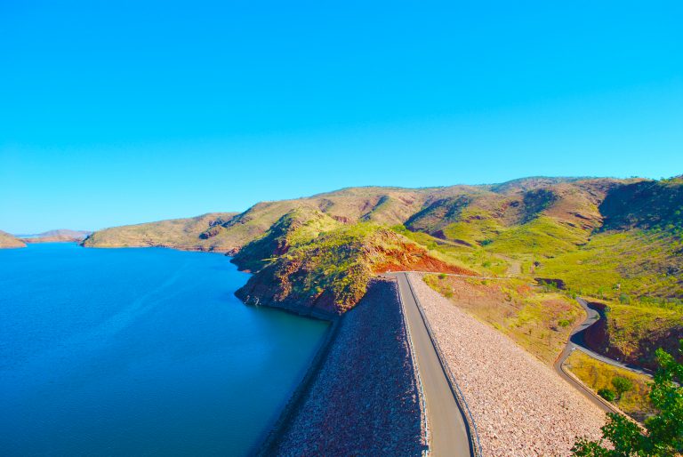
Extreme rainfall characteristics for Ord River
Dam Safety
![](https://harc.com.au/wp-content/uploads/2017/09/shutterstock_631954811-Jindabyne-768x433.jpg)
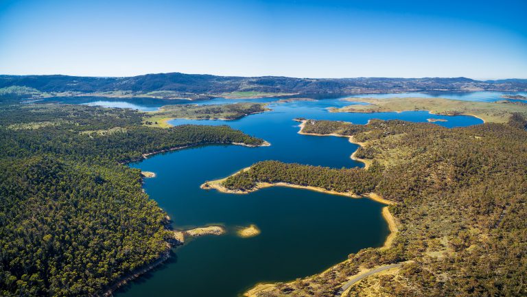
Portfolio Risk Assessment of the Snowy Scheme
Dam Safety
![](https://harc.com.au/wp-content/uploads/2017/09/shutterstock_52449838_FarmDamWithWindmill_Victoria-768x511.jpg)
Impact of harvestable rights in NSW catchments
Water Resources
![](https://harc.com.au/wp-content/uploads/2017/08/shutterstock_334024331-Blurred-people-768x512.jpg)
RORB Training
Floodplain Management
![](https://harc.com.au/wp-content/uploads/2017/08/VIC00015_DoctorsSwamp_BestPhoto-768x410.jpg)
Modelling of wetlands in Source
Water Resources
![](https://harc.com.au/wp-content/uploads/2017/09/WPL00001_WaikatoRiverNZ_NearHamilton_trimmedd-768x922.jpg)
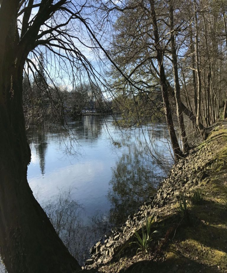
Ruahuwai Flow and Water Quality Assessment
Water Resources
![](https://harc.com.au/wp-content/uploads/2017/08/shutterstock_401483197_NoosaRiver-1-768x576.jpg)
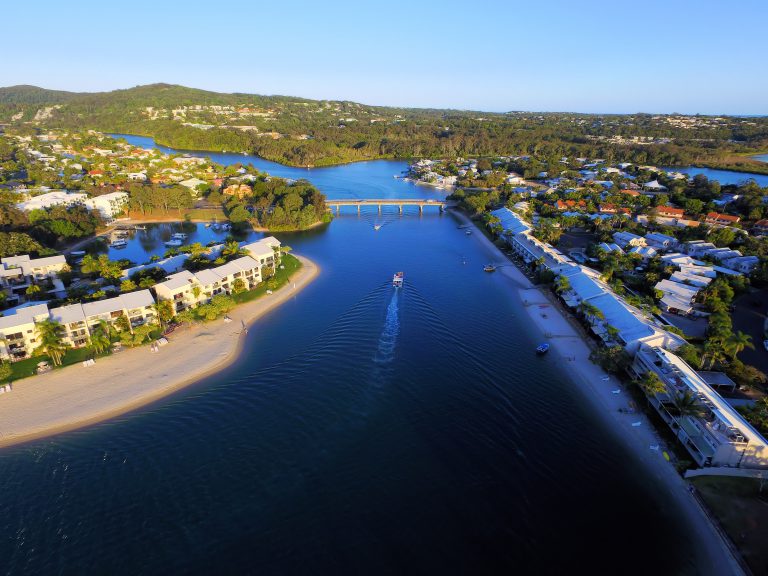
Catchment water quality models for South East Qld
Water Resources
![](https://harc.com.au/wp-content/uploads/2017/08/shutterstock_467517107Townsvillecompressed-768x512.jpg)
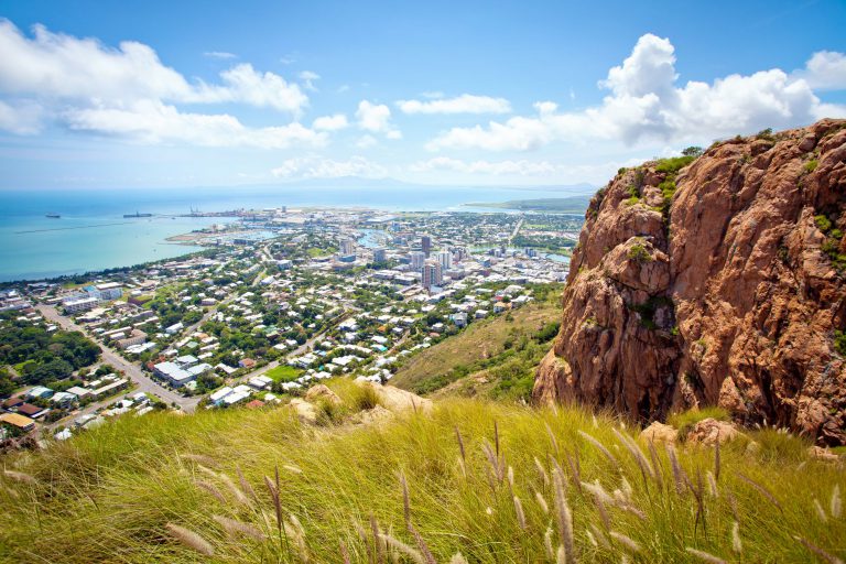
City-wide Hydrological Review
Floodplain Management
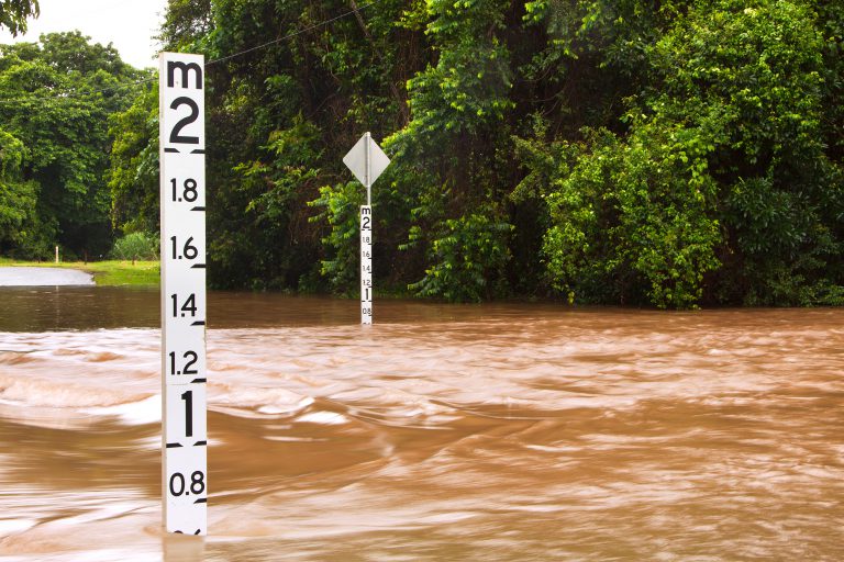
![](https://harc.com.au/wp-content/uploads/2017/08/shutterstock_69530449_Flooded-road-depth-gauge-768x512.jpg)
Swan and Helena Rivers Flood Study
Floodplain Management