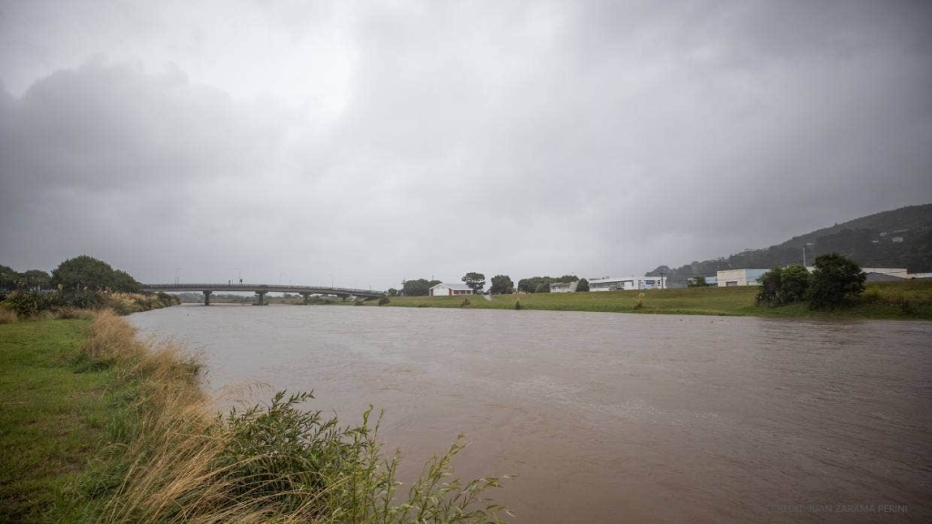
HARC was commissioned by Awa (on behalf of Wellington Water) to undertake detailed hydrology modelling to inform future planning and design for flood mitigation works on the Hutt River in New Zealand.
Flood outcomes for some urban areas can be influenced by the probability of floods generated from relatively small local stormwater catchments combined with a larger riverine system.
Flooding is influenced by the Annual Exceedance Probabilities (AEPs) of rainfall on the stormwater and riverine catchments and the space-time pattern of rainfall across the 636km² Hutt River catchment area near Wellington, and the urban stormwater catchments of Lower Hutt and Petone which drain to the Lower Hutt River.
This project involved a comprehensive analysis of rainfall data and modelling to assess flood probabilities and inform future flood mitigation works for the Hutt River, focusing on the interaction between stormwater catchments and the riverine system. The RORB model played a central role in these assessments and was calibrated and verified using historical flood data.

