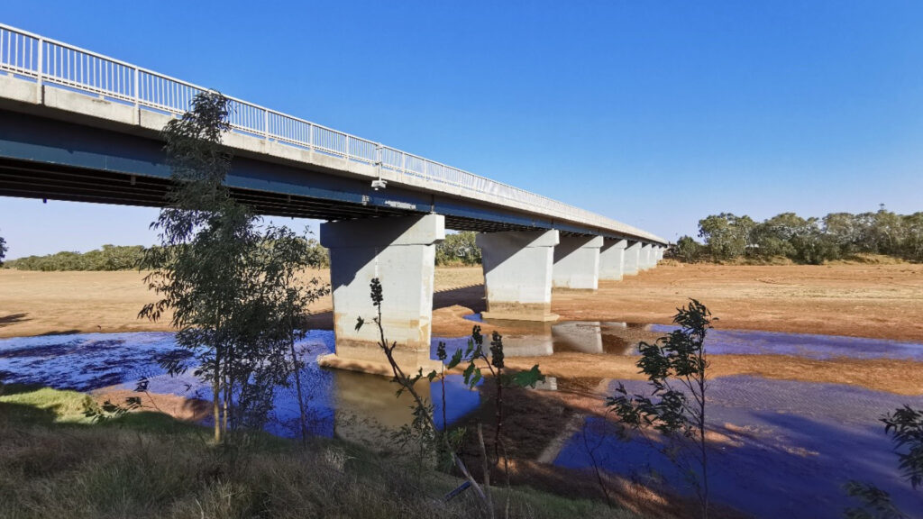
HARC undertook the hydrologic assessment of the Gascoyne River catchment by The Shire of Carnarvon. The Gascoyne River catchment is a large arid catchment which covers an area of approximately 79,000 km2. This assessment enabled detailed understanding of the current flood risk associated with the Carnarvon township and horticultural areas by developing a jointly calibrated hydrological and hydraulic model which represents current conditions and can analyse potential future flood mitigation options. The scope of this study was the following:
- Collate necessary data including undertaking a site visit and produce progress reports.
- Refinement and improvement of the existing calibrated hydrological (RORB) model of the Gascoyne River catchment using guidance and inputs from Australian Rainfall and Runoff (ARR) 2019 and an industry leading methodology tailored for a large arid catchment.
- Develop a calibrated hydraulic model for the 2010 and 2021 flood events which will be used to prepare design flood extents and investigate mitigation options.
- Develop the flood information required to support future flood preparedness projects.
- Prepare a detailed report of the work undertaken.
- Provide all model files including supporting GIS data to the project team.

