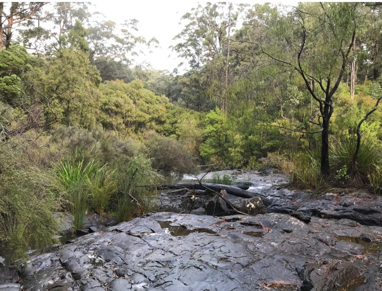
The Donnelly River is situated in the Southern Forests region of Western Australia. HARC was engaged to develop a Source model of the whole Donnelly River catchment. The Source model was established with a daily time step and was used to model daily streamflow for a 65 year period (1952-2017) at several locations within the basin.
The model included explicit representation of different rainfall runoff response from cleared and forested portions of each sub-catchment, and it included explicit representation of every farm dam in the catchment. This was used to assess security of supply to farm dams in the catchment and streamflow and water availability for the environment. The model was also used to assess the yield and security of supply for a proposed large irrigation dam on Record Brook. HARC calibrated both GR4J and LASCAM rainfall runoff models to daily gauged streamflow at six different flow gauges in the catchment.
We developed plugins in Source to develop customised objective functions, which were used in the calibration of the rainfall runoff models to the gauged flows.

