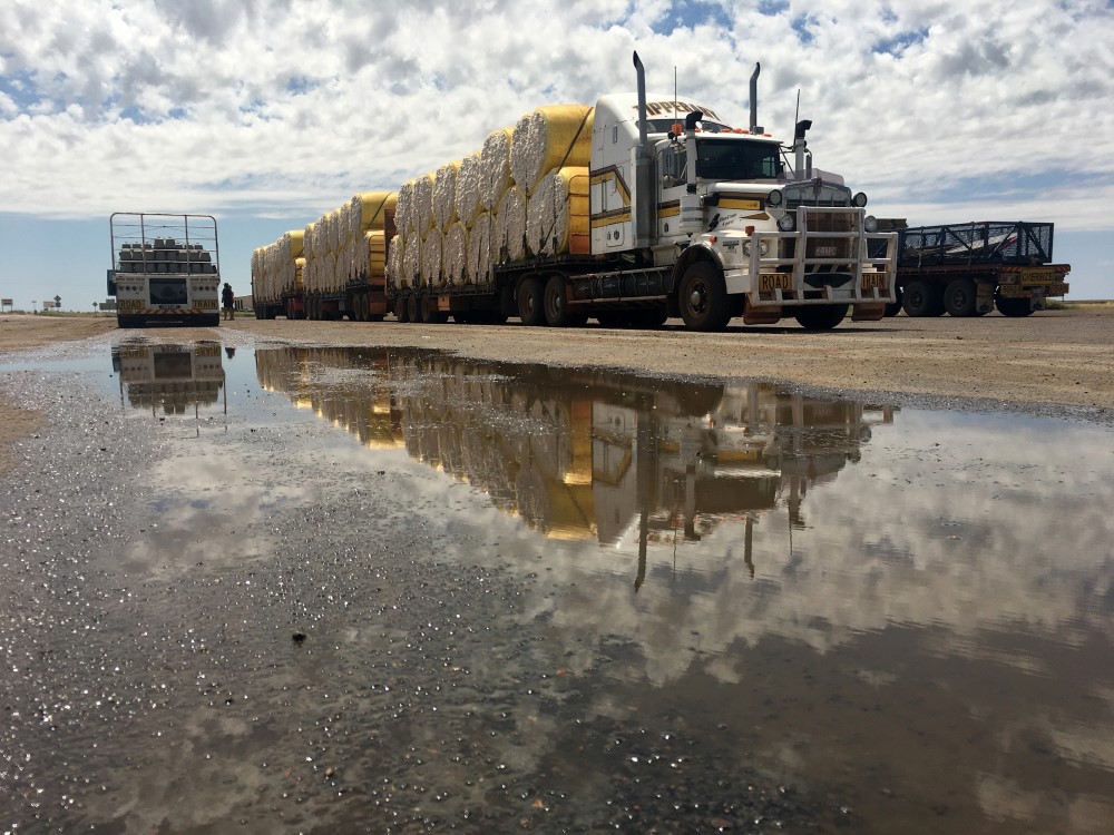
The Inland Freight Route (IFR) was added to the Infrastructure Priority List by Infrastructure Australia in 2020.
HARC was commissioned by AECOM to undertake hydrological modelling for the IFR. The main purpose of this modelling was to generate approximately 105 years of modelled flows on an hourly timestep at each of the IFR waterway crossings. This information is used to design the crossings to avoid unacceptable flood impacts, such as an extended closure of the IFR.
The hydrological models covered a total catchment area of 284,445 km². Where these catchments were gauged, the model parameters were estimated during the calibration process. For the remaining areas, parameters were regionalised using catchment characteristics. The joint probability of floods at multiple crossings along the IFR was also accounted for when generating the modelled time-series of hourly flows at each location.
To complement the continuous simulation approach, design flood estimates were also derived at each of the IFR waterway crossings using the Monte Carlo approach described in Australian Rainfall and Runoff 2019. The Monte Carlo method was used with regionalised information on design rainfall to produce robust estimates of flood peaks, particularly for events in the large, rare and very rare flood range.


